Hiking trails
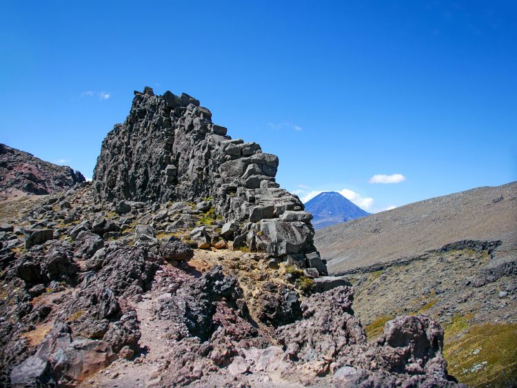
This short walk brings you to Meads Wall, a towering volcanic formation carved by ancient eruptions with a sheer drop and open views of Mt Ngauruhoe and the wider Tongariro National Park.
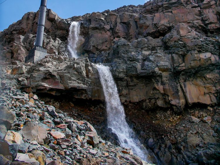
Follow the return path of the gondola from the Knoll Ridge Chalet back to the base area. Along the way you’ll pass seasonal waterfalls, rugged rock slopes and ancient lava formations.
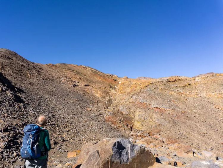
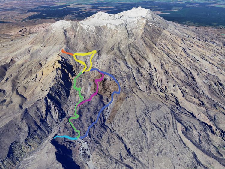
Climb to the top of Knoll Ridge (2,232m), then return to where you started at the Knoll Ridge Chalet and along the way enjoy sweeping views across the northwestern flanks of Mt Ruapehu.
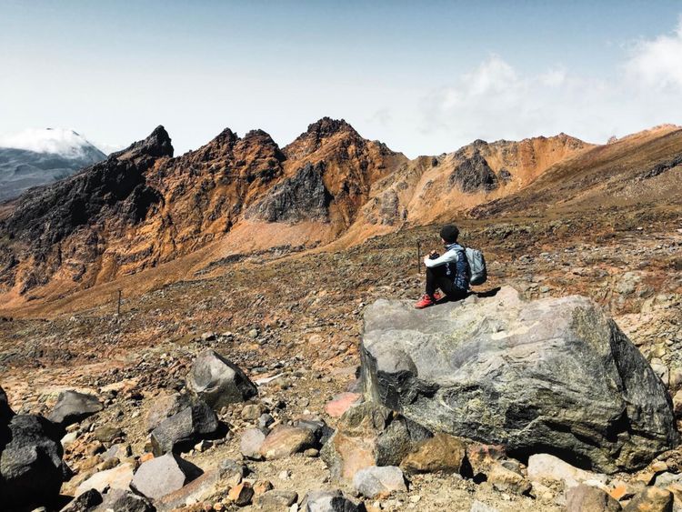
The longer route from the Knoll Ridge Chalet back to the base area, heading west before looping downhill. Along the way you’ll catch sweeping sights of Mt Tongariro, Mt Ngauruhoe and even Mt Taranaki on a clear day.
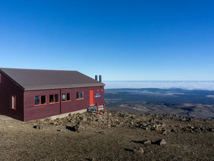
A historical trails that takes you from the Knoll Ridge Chalet back down to the base area along the western side of the Delta Ridge, with wide open views of Mt Ruapehu’s western flanks and Mt Taranaki on a clear day.
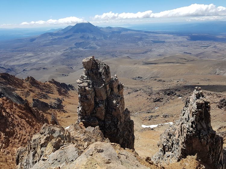
An unmarked uphill hike that takes you to the Skyline Ridge (2,300m) where the volcanic plateau opens out beneath you with panoramic views across Tongariro National Park and Mt Ngauruhoe.
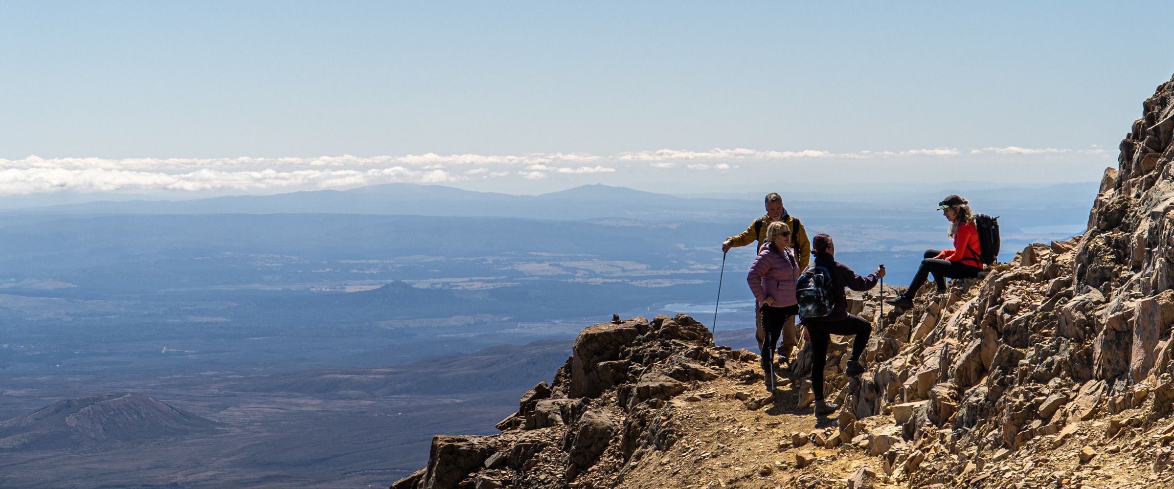
Take a stroll through our summer trails.
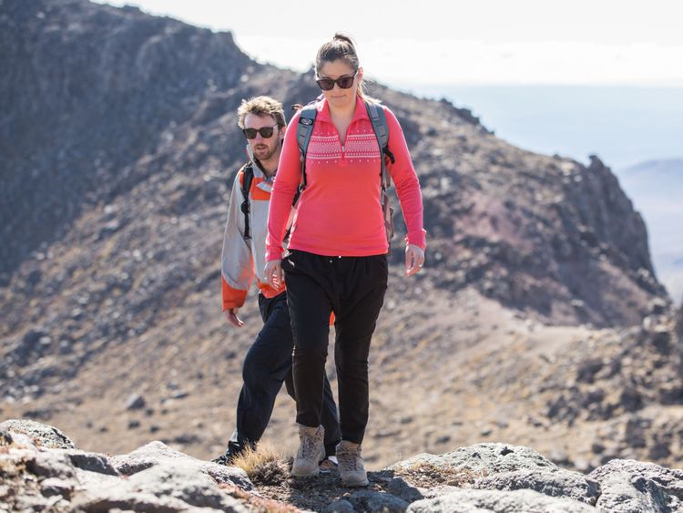
Safety in Summer
Our short walks open from December to April, weather dependent, and you’ll need to be ready for alpine conditions.
Wear sturdy footwear, pack warm layers, water and sunscreen, and check the weather, temperature gauge and live updates at whakapapa.com/report before you go.
Beyond the Sky Waka you’re responsible for your own safety and the gondola may close if the weather turns. Expect loose rock, cliffs, snow, ice and rapid changes. Let someone know your plans and use Plan My Walk to map your trip. In an emergency call 111 and ask for Police.
