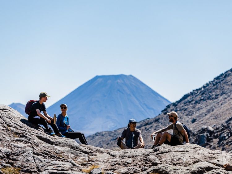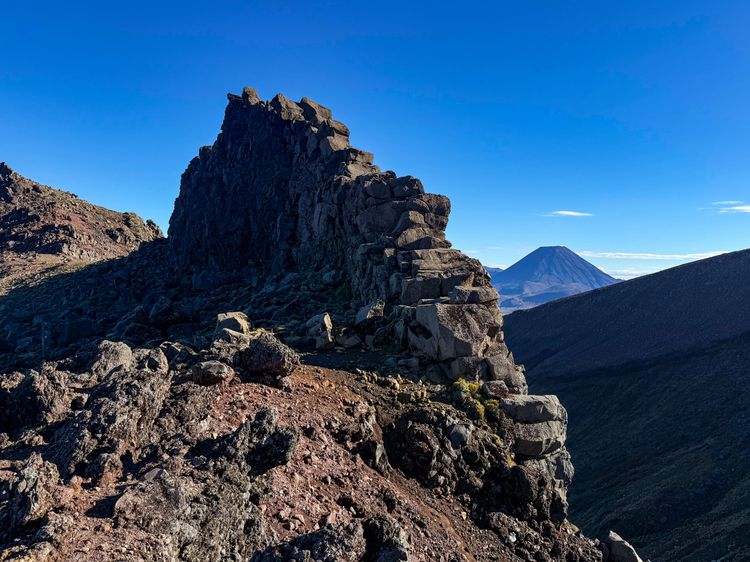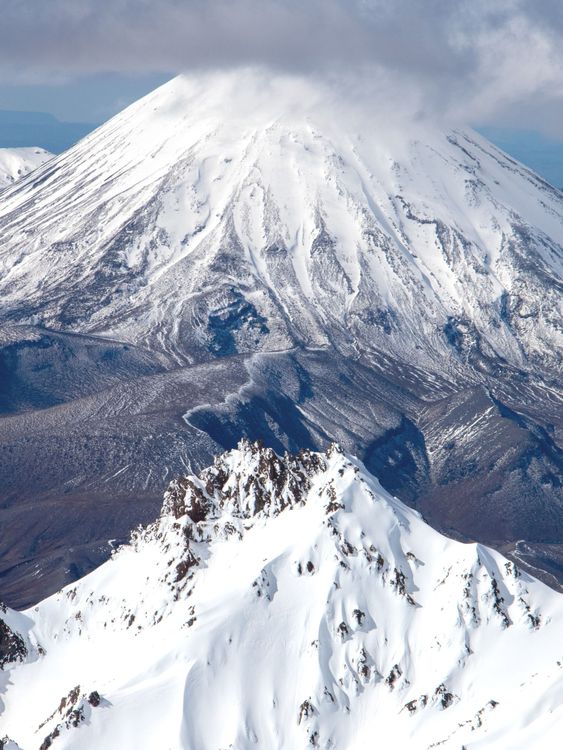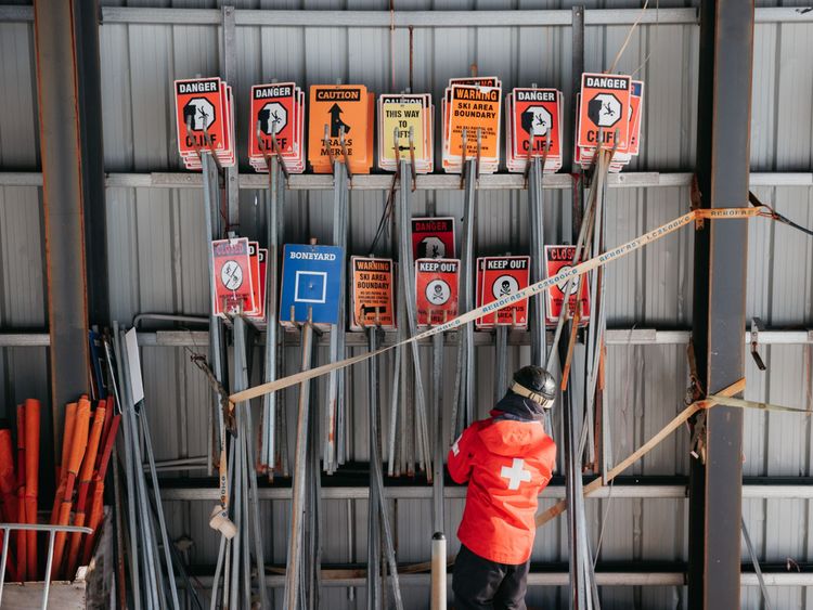
Mountains are sacred ground.
In Aotearoa New Zealand, maunga (mountains) are held in the highest regard and considered sacred.
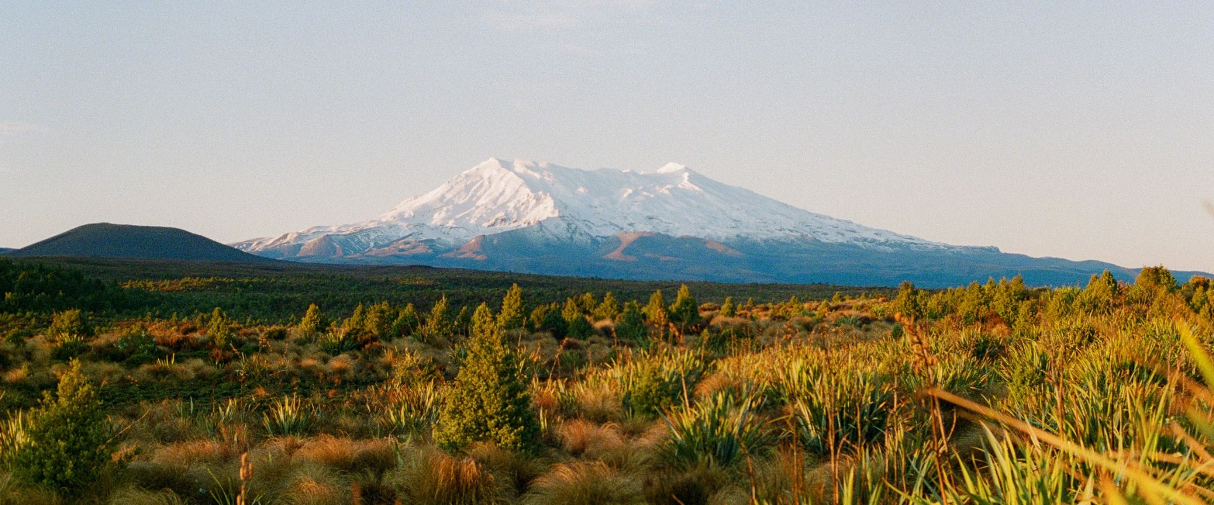
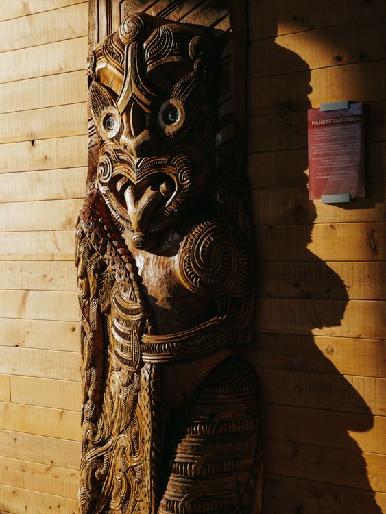
The spiritual connection Māori have with maunga stretches back through generations. Stories of Mt Ruapehu and how the mountains came to be are shared and retold by different iwi (tribes) in their own ways, drawing on myth, legend and oral tradition. Central to many of these stories is Māui tikitiki-a-Taranga (Māui), a hero or demi-god in Māori and wider Pacific legend.